We had a lot of weather action overnight, but the rain let up around dawn and the sun shined most of the day. We breakfasted in Atlantic, IA at the Farmer's Kitchen, home of flapjacks about the size of wheel covers. Seriously. I had mine with two scrambled eggs and Tabasco and was lovin' life.
We rode slowly out of town as the Police HQ is next door to the Farmer's Kitchen and it is best not to antagonize LEOs with any wild riding antics in town. Don't ask me how I know this. We headed east on I-80 a ways to the exit for John Wayne's birthplace in Winterset, IA. This is the place that Marion Robert Morrison saw his first light though it was the sun and not a Marlboro. We didn't take the tour because the building was pretty small and I figured John Wayne's really valuable stuff was either in California or possibly fell out of his pockets out in the badlands where the western movies were filmed. My best guess is that this place might have had some of his parents' stuff and maybe some of his old school report cards or baby shoes (baby cowboy boots?). I did take some photos of the place for my Uncle Buddy, an avid John Wayne fan, retired Marine and famed thrower of golf clubs. My Uncle Tony once quipped that Buddy could throw his club further than he could hit a ball.
Stopped for lunch along I-80--bologna sandwiches and spiders. The spiders were not placed on the sandwiches intentionally, but I wondered what their nutritional value might be as we brushed them away as they fell upon us from the upper reaches of the picnic shelter where we sat. Not much fiber, but plenty of protein is my guess.

We continued up the road to Iowa City and just east of there, headed northeast passing through the town of Solon (whether this rhymes with Salon, Saloon or Colon--I just don't know) to the National Motorcycle Museum up in Anamosa, IA. When we arrived it was closed due to them moving to another location in town. However, the staff was busily packing and moving items and was happy to stop dripping sweat on antique motorcycles and memorabilia for a few minutes to chat. A couple of other visitors had ridden there specifically to see the exhibits and were visibly shuddering with fury that they could not enter to view all the cool old stuff. Threats were made, spittle flew out of deep, red angry faces and nothing really happened. So it goes, as Kurt Vonnegut used to write. As things were being moved, we did see some old Indian, Curtiss, H-D, Triumph (of course), Henderson and other bikes. They were supposed to have Steve McQueen's 1947 Indian somewhere in there, but I didn't see that being moved. I reckon it had moved on already, much like Steve himself.

A short ride further north took us to J&P Cycles, also in Anamosa, IA. I've ordered stuff from these folks and figured I'd stop by to say "hello". They were busy as hello is all I can say. There were four LEOs from multiple jurisdictions all comparing notes on how to set up a speed trap. I don't know if this was the equivalent of a convention or seminar, but they kept to themselves and let the bikers be.
We met a Canadian couple at J&P who had dropped their Goldwing. The bike wasn't badly damaged, but he had some cracked ribs and couldn't ride. Or sneeze. Or laugh. Or cough. She was already injured from a drop with her own bike about 10 weeks prior and had been following him with the family pick-up truck. Nobody was riding the Goldwing home, so we speculated whether it could be placed in the bed of the pickup. After some careful measurements (always travel with a measuring tape is my advice), we all felt confident it could be safely done if secured properly. Our Lewis & Clark party felt particularly confident in this opinion because their trip home to Canada would not involve us and we did not use our real names during the introductions. We wished them well on their return to the Great White North.
By this point, the day was drawing down and we made it to Dubuque, IA on the Mississippi. Plans call for a brief rest here and then continue toward home on Friday and Saturday. Wish us well on our return to the Great Damp East!
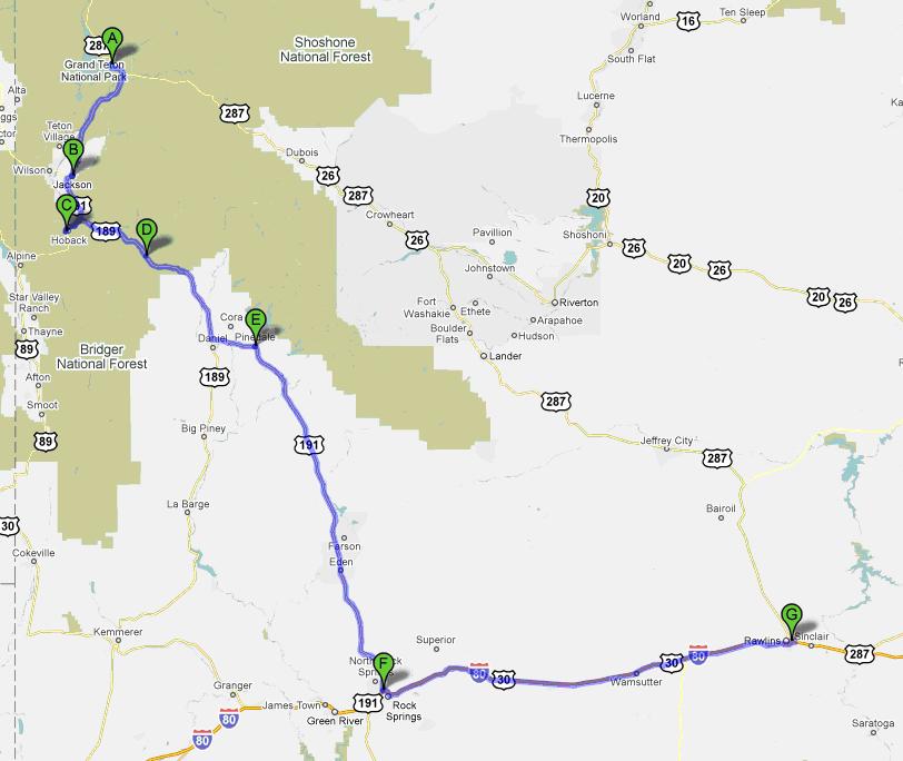
Here's today's route:
http://maps.google.com/maps?f=d&source=s_d&saddr=E+7th+St%2FWhite+Pole+Rd&daddr=US-6+E%2FUS-71+N%2F650th+St+to:I-80+E+to:IA-1+N%2FN+Market+St+to:US-151+N+to:Co+Rd+E28%2FE+Main+St+to:13225+Circle+Drive+Anamosa,+IA+52205+to:42.486824,-90.633996&hl=en&geocode=Fd_FdwIdxJ1W-g%3BFaVAeAIdDj9X-g%3BFXsGfAIdEWlw-g%3BFRIOfgIdoOOL-g%3BFbn8gQIdRAqP-g%3BFYKFggIdKx2P-g%3BFfjKggIdF3KP-injjhdkRpzkhzEnVXfeMODxbg%3B&mra=mi&mrcr=5&mrsp=7&sz=15&via=4&sll=42.484789,-90.637422&sspn=0.016679,0.038581&ie=UTF8&ll=41.881831,-92.807007&spn=2.155225,4.938354&z=8